UN
1 Stockton Gardens
£ 830,000
Description
We don't have a Description for this property.
- Bedrooms
- 4
- Bathrooms
- 0

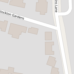

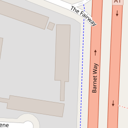


Leaflet © OpenStreetMap contributors
The heatmap indicates the level of crime in the area. The color of the heatmap indicates the crime severity and recency.
Metrics Year-on-Year
- Average area value
- 666,863.00 £Decreased by 49.22 %
- Average area rental value
- 2,159.00 £/moDecreased by 16.61 %
- Est rental Yield
- 3.89 %Increased by 64.14 %
- Crime Rate
- 8.00 %Unchanged by 0.00 %
from 1,313,349.00 £
from 2,589.00 £/mo
from 2.37 %
from 8.00 %
Nearby Schools
| Name | Type | Ofsted | Distance |
|---|---|---|---|
| Courtland School | Community School | Outstanding | 0.21 KM |
| Fairway Primary School And Children'S Centre | Community School | Good | 0.49 KM |
| Fairway Primary School And Children'S Centre | Children's Centre | 0.50 KM | |
| Northway School | Community Special School | Outstanding | 0.63 KM |
| Mill Hill County High School | Academy Converter | Good | 0.74 KM |
Images
Nearby Streets
| Name | Average Price | Average Sqft | Distance |
|---|---|---|---|
| Marsh Lane | £ 2,044,158 | 0 | 0.00 KM |
| Manor Drive | £ 925,000 | 0 | 0.00 KM |
| Nan Clark's Lane | £ 0 | 0 | 0.00 KM |
| Limes Avenue | £ 999,000 | 0 | 0.00 KM |
| Station Road | £ 0 | 0 | 0.00 KM |
Nearby Transport
| Name | NLC | TLC | Distance |
|---|---|---|---|
| Mill Hill Broadway | 1527 | MIL | 1.43 KM |
| Elstree And Borehamwood | 1542 | ELS | 4.30 KM |
| Hendon | 1522 | HEN | 5.29 KM |
| Kenton | 1399 | KNT | 8.59 KM |
| Cricklewood | 1519 | CRI | 8.68 KM |
Nearby Listings
| Address | Price | Type | Score | Distance |
|---|---|---|---|---|
| Barnet Way, Mill Hill, NW7 | £ 1,500,000 | BUY | Unknown | 0.14 KM |
| Hankins Lane, Mill Hill, London, NW7 | £ 1,795,000 | BUY | 8 / 10 | 0.20 KM |
| Barnet Way, Mill Hill, London, NW7 | £ 600,000 | BUY | 6 / 10 | 0.21 KM |
| Barnet Way, London | £ 645,000 | BUY | 7 / 10 | 0.22 KM |
| Barnet Way, London, NW7 | £ 640,000 | BUY | 7 / 10 | 0.24 KM |
Nearby Properties
| Address | Price | Distance |
|---|---|---|
| 13 Stockton Gardens | £ 573,000 | 0.00 KM |
| 5 Stockton Gardens | £ 520,000 | 0.00 KM |
| 1 Stockton Gardens | £ 830,000 | 0.00 KM |
| 12 Stockton Gardens | £ 410,000 | 0.00 KM |
| 3 Robin Close | £ 633,000 | 0.08 KM |